Belgium’s largest recorded wildfire forces evacuations in the High Fens
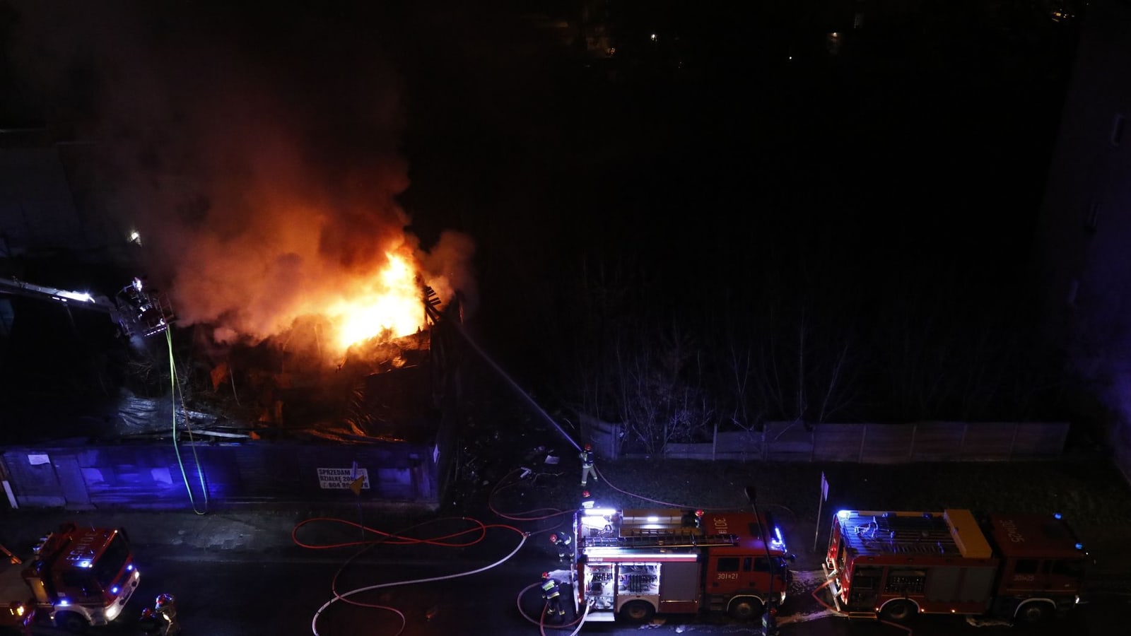
Belgium’s largest recorded wildfire forced some residents of Waimes to evacuate and authorities told people in Sourbrodt to be ready to leave as flames spread through the High Fens.
The fire presents an immediate threat to nearby communities and may have caused lasting damage to rare peatlands, biodiversity and natural carbon stores. Its unprecedented scale also tests Belgium’s capacity to manage large wildfires.
Belgium’s largest recorded wildfire forced some residents of Waimes to evacuate on Saturday, 15 August, while local authorities told people in nearby Sourbrodt to prepare to leave if the flames advanced. La Dernière Heure reported that the fire was threatening communities around the High Fens nature reserve in Liège province, where emergency services were confronting an exceptionally large and fast-moving incident.
For people in eastern Belgium, the immediate concern is personal safety. Residents must follow instructions from the municipality of Waimes and the emergency services, avoid closed roads and keep access routes clear. The risk extends beyond homes: smoke, changing winds and fire moving through dry vegetation can rapidly alter which areas are safe. Sourbrodt lies within Waimes, close to the protected landscape and the German border, giving the operation a cross-border dimension even though Belgian authorities retain command on Belgian territory.
The evacuations are the confirmed human consequence of a fire that has become unprecedented in Belgian terms. The precise number of displaced residents, the total area burned and the extent to which homes or other buildings have been damaged were not established consistently in the sources available for this article. Nor had authorities publicly confirmed the cause. Those uncertainties matter in a breaking emergency, when estimates can change as firefighters gain access to the affected ground.
Wallonia had already identified the conditions for a serious fire season. On 28 July, the Walloon Public Service warned that persistent heat and dryness had raised the natural-area fire risk to high in forests and very high in open landscapes, particularly in Liège, Luxembourg and Namur provinces. Its Department of Nature and Forests described heathland and other exposed vegetation as especially vulnerable. That official warning gives the present fire a clear context without proving how it started.
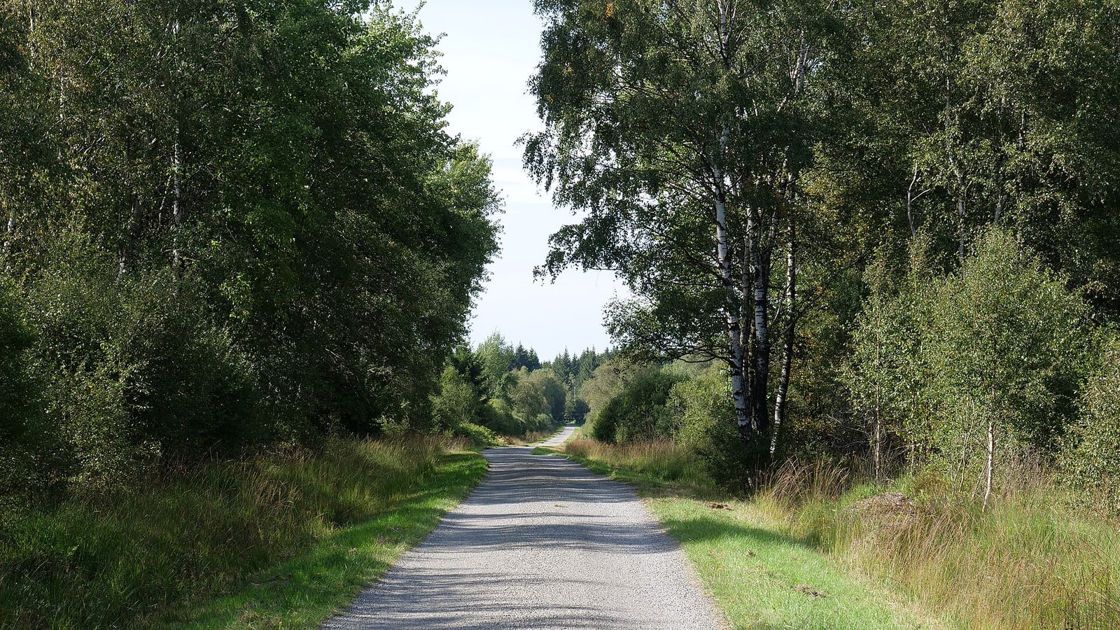
The High Fens are not simply woodland. They contain heath, wetland and peat habitats whose ecological value depends on waterlogged soils built up over very long periods. Laurane Winandy, director of the University of Liège’s High Fens scientific station, told RTBF that peat can continue burning beneath the surface and later produce new hotspots. She said two of the reserve’s three active raised bogs lay within the affected area, although the damage could not yet be measured safely. Her assessment shifts attention from the visible fire front to losses that may persist long after residents return.
Emergency managers and ecologists therefore view the same event through different clocks. Municipal and rescue authorities are concentrating on evacuation, containment and the protection of settlements. Researchers including Winandy stress that underground combustion, habitat destruction and the loss of carbon-storing peat may require monitoring and restoration work for years. These positions are complementary, but they imply different definitions of when the crisis is over.
The historical comparison is stark. In an April 2025 prevention notice, the Walloon administration identified the 25 April 2011 High Fens fire, which burned about 1,200 hectares, as the largest previously recorded in Wallonia. The present event has now been described by Belgian reporting as larger, underlining how a country more accustomed to floods than landscape fires may need to strengthen its wildfire preparedness.
Belgium also fits into a wider European pattern of hotter, drier periods increasing the conditions in which vegetation fires can spread. The High Fens-Eifel landscape continues across the border into Germany, so ecological damage and smoke do not stop at an administrative boundary. Any foreign operational support, however, should be distinguished from an EU-level response; the sources reviewed here did not establish a formal activation of the EU Civil Protection Mechanism.
The next decisive questions are whether crews can prevent renewed spread, when evacuated residents may safely return and how deeply the peat has burned. Authorities will also need to establish the cause and produce a verified damage map. Until those assessments are complete, residents should treat municipal alerts—not unofficial images or estimates—as the operational source of truth.
Impact
Regional — Waimes and Sourbrodt face evacuation disruption, road restrictions, smoke and uncertainty over property and tourism. The wider impact concerns Wallonia’s largest and most distinctive protected landscape.
Local — Residents should follow Waimes municipal and emergency-service instructions, remain ready to leave if directed and avoid roads or paths closed for firefighting operations.
International — The fire is Belgian, but the High Fens-Eifel landscape crosses into Germany and forms part of a broader European rise in wildfire exposure during hot, dry periods.
What it means for you
People near Waimes and Sourbrodt should rely on official local alerts, keep evacuation essentials ready, avoid the reserve and call 112 only for an immediate emergency.
Opposing perspectives
- Municipal and emergency authorities
The municipality of Waimes and the rescue services frame the event primarily as an immediate public-safety operation: evacuate exposed residents, keep roads open for crews, contain the flames and update Sourbrodt if departure becomes necessary.
- High Fens ecological researchers
University of Liège researcher Laurane Winandy frames the disaster over a much longer period. Even after visible flames are controlled, she warns that peat can burn underground and that damage to ancient bogs, wildlife habitats and carbon storage may be irreversible.
Sources & evidence
- View sourceLa Dernière HeurePrimaryprimary· dhnet.be· 15 August 2026Retrieved 17 August 2026· 48 days ago· Dated
- View sourceRTBFcorroborating· rtbf.be· 17 August 2026Retrieved 17 August 2026· 46 days ago· Dated
- View sourceWalloon Public Service — Environmentofficial· environnement.wallonie.be· 28 July 2026Retrieved 17 August 2026· 66 days ago· Dated
- View sourceWalloon Governmenthistorical· wallonie.be· 1 April 2025Retrieved 17 August 2026· 549 days ago· Background / context
How this story developed
5 reports on this subject — earliest first. You are reading the highlighted entry.
- Belgium’s largest recorded wildfire forces evacuations in the High Fens· You are here
- Peat and pine plantations turned the High Fens fire into a national catastrophe
- High Fens wildfire forces hundreds from homes as crews hold eastern front
- Sourbrodt residents return home as High Fens fire leaves severe ecological damage
- High Fens fire controlled as smoke and hidden hotspots persist
Related to this story
Pulse Insight — This topic connects to 10 associations and 3 funding programmes through the Wallonia ecosystem.
Live connections from the Belgium Impulse ecosystem — not recommendations.
This briefing was prepared with AI assistance and reviewed by a Belgium Impulse editor before publication. methodology.