High Fens fire under control as crews tackle remaining hotspots
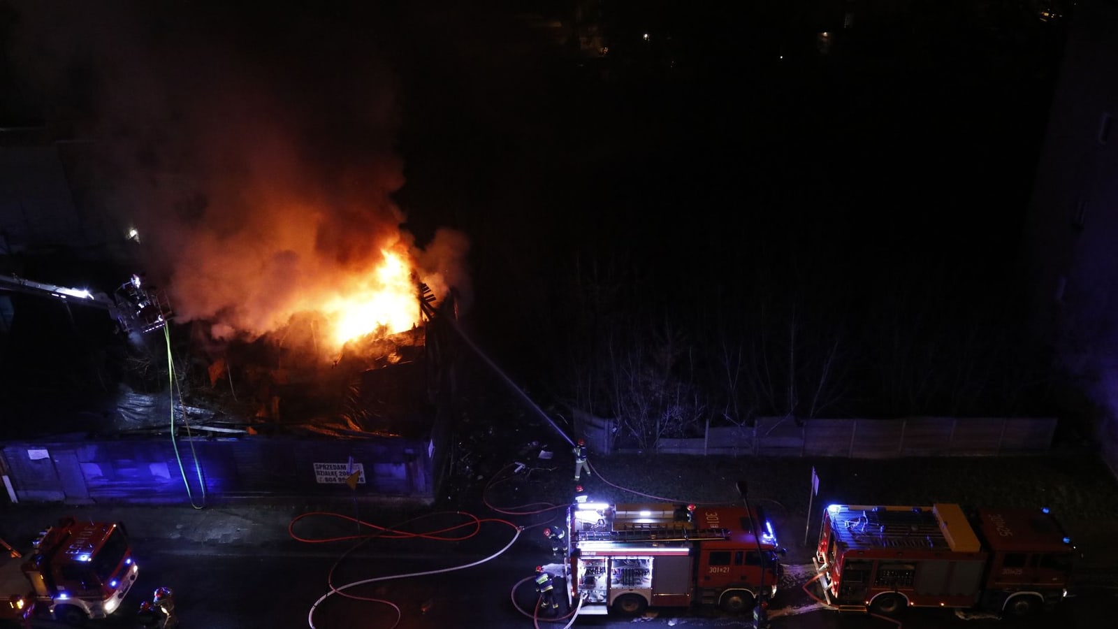
Emergency crews have brought the High Fens wildfire under control after it affected almost 3,000 hectares, but about 100 responders remain deployed and public access to the burned area is still prohibited.
The fire affected an exceptionally large protected area, displaced residents and visitors, disrupted tourism and required a national and cross-border emergency response. Persistent underground heat also means containment does not immediately remove the danger.
Updated 26 August 2026, 16:30 CEST
Emergency crews kept working in the in on Wednesday, 26 August, after bringing ’s largest recorded wildfire under control. The said about 100 responders were still tackling local hotspots in the northern and eastern sectors, while access to the affected nature reserve remained strictly prohibited.
The fire began near at around 13:00 on Friday, 14 August, according to the . said almost 3,000 hectares were affected before crews contained its spread. The official damage assessment has not yet established how much vegetation and peat was completely destroyed.
The operation drew firefighters from across as well as international assistance. reported that the sent a 12,000-litre tanker with two crew members on 15 August and an engine with six firefighters the following day. More than 15 Belgian emergency zones, German and Luxembourg firefighters, Civil Protection, federal police equipment and Defence units participated, according to BRUZZ and the authorities.
Defence said it deployed about 40 military firefighters and six Panther vehicles, each carrying 10,500 litres of water. Their crews supported civilian firefighters from roads and tracks because the soft peatland prevented heavy vehicles from moving freely across the terrain. Defence warned that peat can continue burning below the surface after visible flames disappear, requiring prolonged cooling and surveillance.
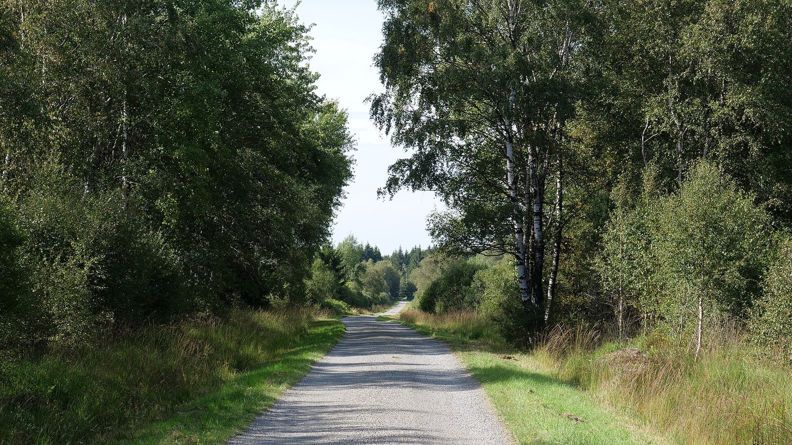
The Walloon authorities reopened the N676, N672 and N68 on 25 August, with a 50-kilometre-per-hour limit and stopping restrictions near the fire zone. They stressed that reopening the roads did not reopen the reserve. Smouldering ground, weakened trees, smoke and exposed wartime ammunition continue to pose hazards.
Officials said drinking-water tests met health standards, although enhanced monitoring will continue for several weeks. Air-quality monitoring was also expanded around the plateau, according to the Walloon public services.
The fire disrupted residents and tourism as well as the protected landscape. said 34 accommodation businesses were evacuated over the 15 August weekend. Restoration work, including rewetting peatland and repairing paths, is expected to take years.
Crews will now pursue full control of the remaining hotspots while environmental teams assess damage to peat, wildlife, water and air. The cause of the fire and the final burned-area calculation have not been publicly established.
Impact
Regional — Liège province and Belgium’s German-speaking eastern municipalities face prolonged nature closures, environmental damage and disruption to tourism businesses around the High Fens.
Local — Baelen and surrounding communities in Liège province face continued restrictions around the burned High Fens reserve. Visitors must stay out even though three regional roads have reopened, while local tourism businesses may experience disruption from the prolonged nature closure. Residents and travellers should distinguish between reopened roads and the reserve itself, which remains prohibited. The German-speaking eastern municipalities also face environmental damage and reduced access to a major nearby recreation area while emergency teams continue hotspot operations.
International — The response included a cross-border emergency dimension because the High Fens lie in Belgium’s eastern border region and the fire required assistance beyond the immediate Walloon services. For EU and cross-border policy readers, the episode is a practical case of emergency coordination around climate-related natural hazards and protected landscapes. No specific EU institution, EU funding mechanism or neighbouring-country deployment is identified in the available article facts, so the direct institutional consequences cannot yet be assessed.
What it means for you
Do not enter the burned High Fens nature reserve until authorities formally lift the prohibition; a road reopening does not mean walking areas are accessible. If travelling around Baelen or eastern Liège province, check current Walloon and local authority notices before departure and follow barriers or diversions on site. Tourism operators and visitors should expect cancellations, altered routes or restricted access while roughly 100 responders continue hotspot work. The next practical milestone is an official reopening announcement, not merely confirmation that the fire is under control.
Opposing perspectives
- Emergency-management authorities
The Walloon authorities prioritise continued suppression, strict exclusion zones and monitoring because underground hotspots, unstable trees, smoke and old ammunition still endanger the public and responders.
- Federal climate-preparedness authorities
Federal Climate Minister Jean-Luc Crucke says the post-crisis response should include a national evaluation of prevention, coordination, warning systems and operational capacity, with climate risk integrated more fully into emergency planning.
Who, where and what
Key people, places and terms in this story
Liège province municipality near where the fire began on 14 August 2026.
Belgian region whose authorities coordinated updates and the continuing access prohibition.
Province containing the affected area and communities facing closures and tourism disruption.
Country whose emergency and defence services participated in the response.
Protected upland nature area in eastern Belgium affected by the wildfire.
Show the full library (12)
Federal climate minister who publicly addressed the High Fens fire.
Protected upland nature area in eastern Belgium affected by the wildfire.
Liège province municipality near where the fire began on 14 August 2026.
Belgian region whose authorities coordinated updates and the continuing access prohibition.
Province containing the affected area and communities facing closures and tourism disruption.
Country whose emergency and defence services participated in the response.
Wildfire that began on 14 August 2026 and affected almost 3,000 hectares.
Regional authority reporting the fire’s start, response and continuing restrictions.
National defence organisation that supported firefighting and reported the affected area.
Emergency service that sent eight personnel and two vehicles as reinforcements.
Brussels news outlet that reported the Brussels Fire Brigade deployment.
Belgian public-service news outlet listed among the article’s sources.
Sources & evidence
- View sourceWalloon GovernmentPrimaryofficial· wallonie.be· 26 August 2026Retrieved 26 August 2026· 37 days ago· Dated
- View sourceBelgian Defenceofficial· mil.be· 19 August 2026Retrieved 26 August 2026· 44 days ago· Dated
- View sourceBRUZZprimary· bruzz.be· 16 August 2026Retrieved 26 August 2026· 47 days ago· Dated
- View sourceVRT NWScorroborating· vrt.be· 16 August 2026Retrieved 26 August 2026· 47 days ago· Dated
Related topics
Related to this story
Pulse Insight — This topic connects to 10 associations and 3 funding programmes through the Wallonia ecosystem.
Live connections from the Belgium Impulse ecosystem — not recommendations.
This briefing was prepared with AI assistance and reviewed by a Belgium Impulse editor before publication. methodology.