Hautes Fagnes fire scar mapped at 3,366 hectares as roads reopen
Walloon authorities have mapped 3,366 hectares affected by the Hautes Fagnes fire, refining earlier estimates of about 3,000 hectares, while three roads across the plateau reopened on Tuesday morning.
The revised perimeter establishes the physical scale of a major Belgian nature fire and gives emergency services and ecologists a firmer basis for safety controls, habitat surveys and restoration planning.
Walloon authorities have mapped 3,366 hectares affected by the that began near Baelen on 14 August, refining earlier estimates of about 3,000 hectares. The Walloon Public Service supplied the revised figure through crisis-management mapping, La Libre and RTBF reported. On Tuesday 25 August at 10:00, the N68, N672 and N676 reopened to traffic, although said the fire zone and designated forests remain closed to the public.
The new assessment shows the scale of the burned area more clearly after smoke, cloud and the continuing emergency operation complicated earlier measurements. According to the reporting based on SPW calculations, the affected surface is comparable to Uccle and Forest combined. The figure describes the area reached by the fire; it is not yet a detailed ecological assessment of how severely every hectare burned.
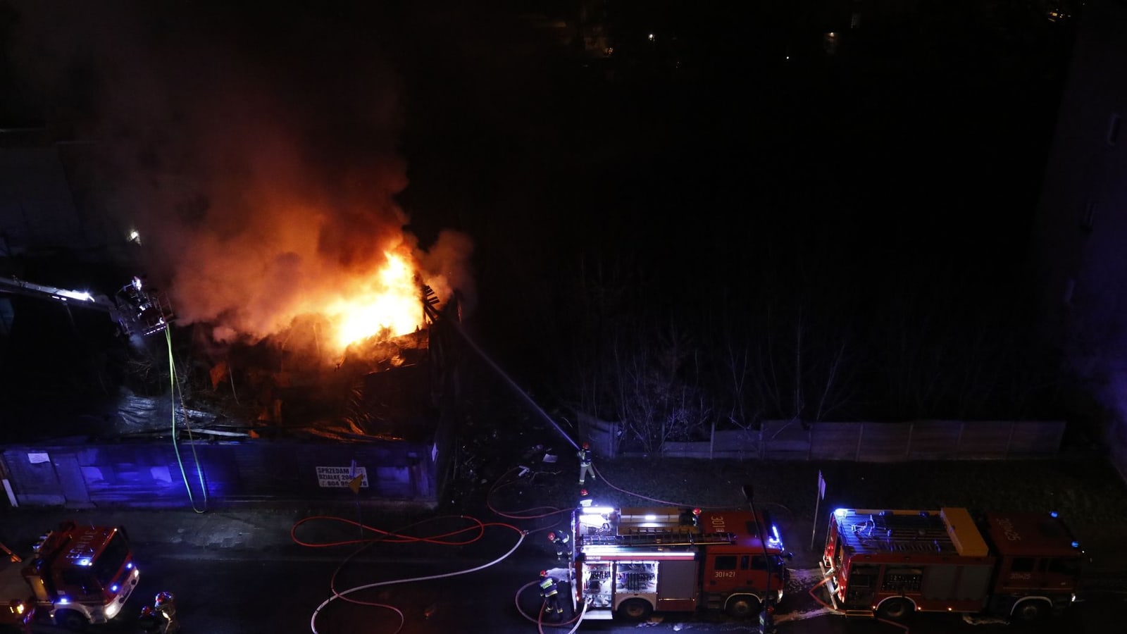
Firefighters brought the blaze under control after several days of work, but crews continued cooling residual hotspots in peat and other organic ground. Belgium’s Defence Ministry said on 19 August that six Panther firefighting vehicles and about 40 military firefighters had supported civilian teams around the clock. It said soft terrain restricted heavy vehicles largely to established roads and paths, while buried heat required prolonged soaking even after visible flames had disappeared.
The immediate danger to surrounding communities has eased, but access restrictions remain central to the response. lists unstable trees, smouldering ground, local smoke, exposed historical munitions and disturbance to weakened wildlife among the remaining hazards. Its latest notice stresses that reopening the main roads does not lift the bans covering affected forests and nature reserves.
Air monitoring has provided a more reassuring picture away from short-lived smoke episodes. said carbon-monoxide checks found no worrying concentrations and that overall air quality remained classified as good over the 24 hours to 23 August, despite a temporary rise in fine particles overnight. attributed such local peaks to smoke combined with weak dispersion and temperature inversion.
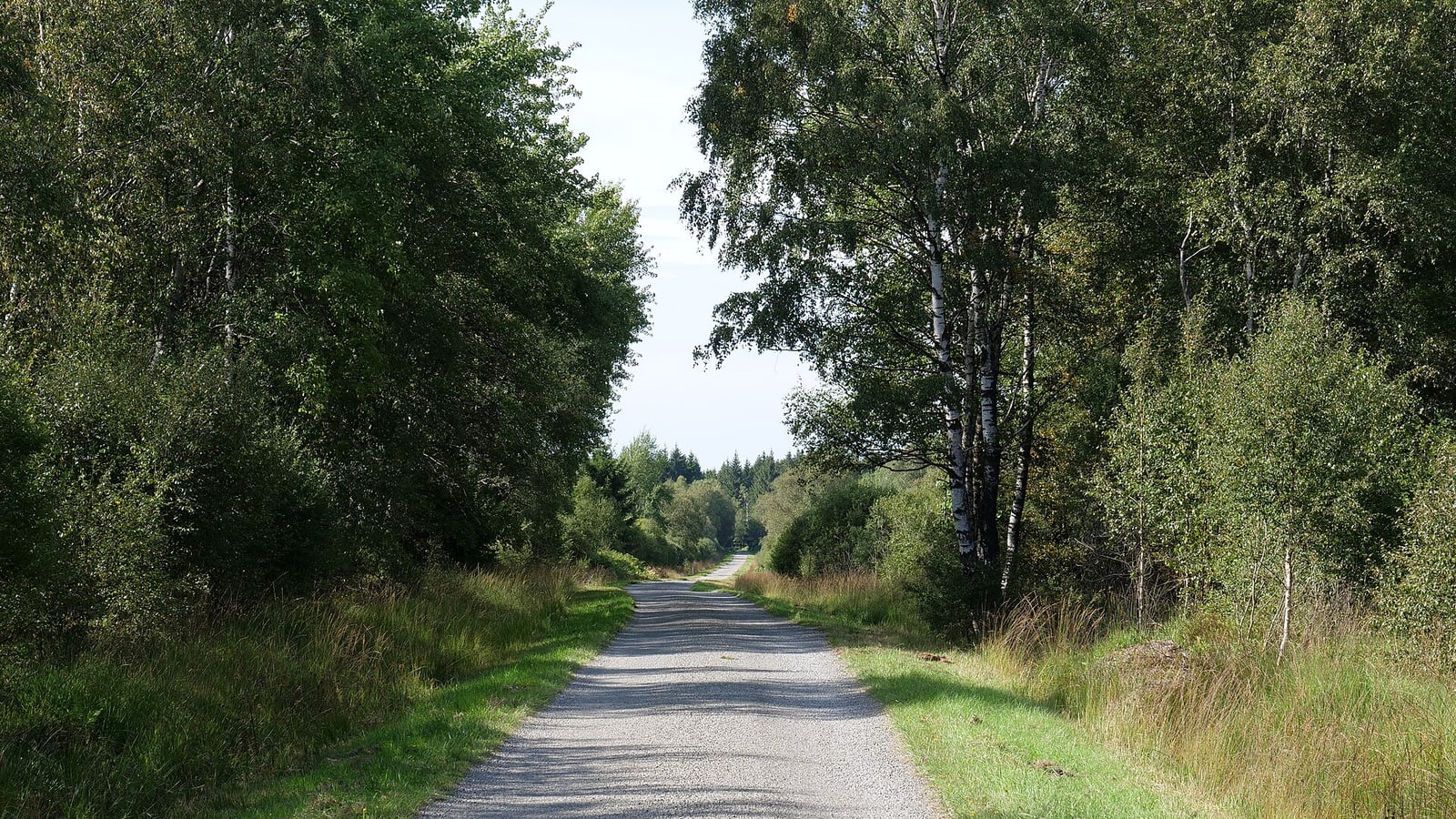
The contain peatland, heath and forest habitats whose condition cannot be judged from the perimeter alone. The next phase will therefore move from emergency mapping to field surveys of burn severity, wildlife, soils, water and vegetation. Authorities have not announced a verified cause of the fire. Visitors should consult the Walloon government’s interactive restriction map and stay outside every closed sector while monitoring and ecological assessments continue.
Impact
Regional — Road traffic has resumed on the N68, N672 and N676, but closures still affect forests and reserves around Verviers, Malmedy, Elsenborn and parts of Spa. Residents, visitors and tourism operators must continue to follow the official restriction map.
Local — Traffic resumed on the N68, N672 and N676 at 10:00 on 25 August, restoring road access across the Hautes Fagnes plateau. However, affected forests and nature reserves remain closed around Verviers, Malmedy, Elsenborn and parts of Spa. Residents, walkers, cyclists, tourists and local operators should distinguish between reopened roads and land that remains prohibited. The official restriction map remains the practical reference before entering or planning activities in the area.
What it means for you
Drivers can again use the N68, N672 and N676, which reopened at 10:00 on 25 August. That does not mean the surrounding forests, trails and reserves are accessible: public entry remains prohibited in affected areas. Anyone planning hiking, cycling, nature visits or tourism activity around Verviers, Malmedy, Elsenborn or Spa should check the official Walloon restriction map immediately before travelling and adjust bookings or routes where necessary. Do not enter a closed area because flames are no longer visible; peat soils can conceal residual hotspots. No verified fire cause has yet been announced.
Who, where and what
Key people, places and terms in this story
Protected upland landscape where the wildfire affected 3,366 hectares.
Belgian region responsible for the affected landscape and environmental response.
Eastern Belgian province containing the affected Hautes Fagnes area.
Area near forests and reserves where access restrictions remain relevant.
Area near forests and reserves where access restrictions remain relevant.
Show the full library (15)
Protected upland landscape where the wildfire affected 3,366 hectares.
Belgian region responsible for the affected landscape and environmental response.
Eastern Belgian province containing the affected Hautes Fagnes area.
Area near forests and reserves where access restrictions remain relevant.
Area near forests and reserves where access restrictions remain relevant.
Locality near affected forests and reserves subject to continuing restrictions.
Municipality where restrictions continue to affect parts of the surrounding forest area.
Wildfire that began on 14 August 2026 and prompted firefighting, mapping and access restrictions.
Road across the plateau that reopened at 10:00 on 25 August 2026.
Road across the plateau that reopened at 10:00 on 25 August 2026.
Road across the plateau that reopened at 10:00 on 25 August 2026.
Belgian newspaper cited as a source for the updated fire footprint.
Walloon environmental authority providing official information on the fire and restrictions.
Federal defence organisation that reinforced firefighting operations.
Interregional environment agency reporting fine-particle concentrations linked to the fire.
Sources & evidence
- View sourceLa Libre BelgiquePrimaryprimary· lalibre.be· 23 August 2026Retrieved 25 August 2026· 40 days ago· Dated
- View sourceSPW Environmentofficial· environnement.wallonie.be· 25 August 2026Retrieved 25 August 2026· 38 days ago· Dated
- View sourceBelgian Defenceofficial· mil.be· 19 August 2026Retrieved 25 August 2026· 44 days ago· Dated
- View sourceIRCEL-CELINEofficial· irceline.be· 23 August 2026Retrieved 25 August 2026· 40 days ago· Dated
Related topics
Related to this story
Pulse Insight — This topic connects to 10 associations and 3 funding programmes through the Wallonia ecosystem.
Live connections from the Belgium Impulse ecosystem — not recommendations.
This briefing was prepared with AI assistance and reviewed by a Belgium Impulse editor before publication. methodology.